Deploy a unified dashboard summarizing sensor alerts, traffic camera queues, and municipal infrastructure maps.
Contact Us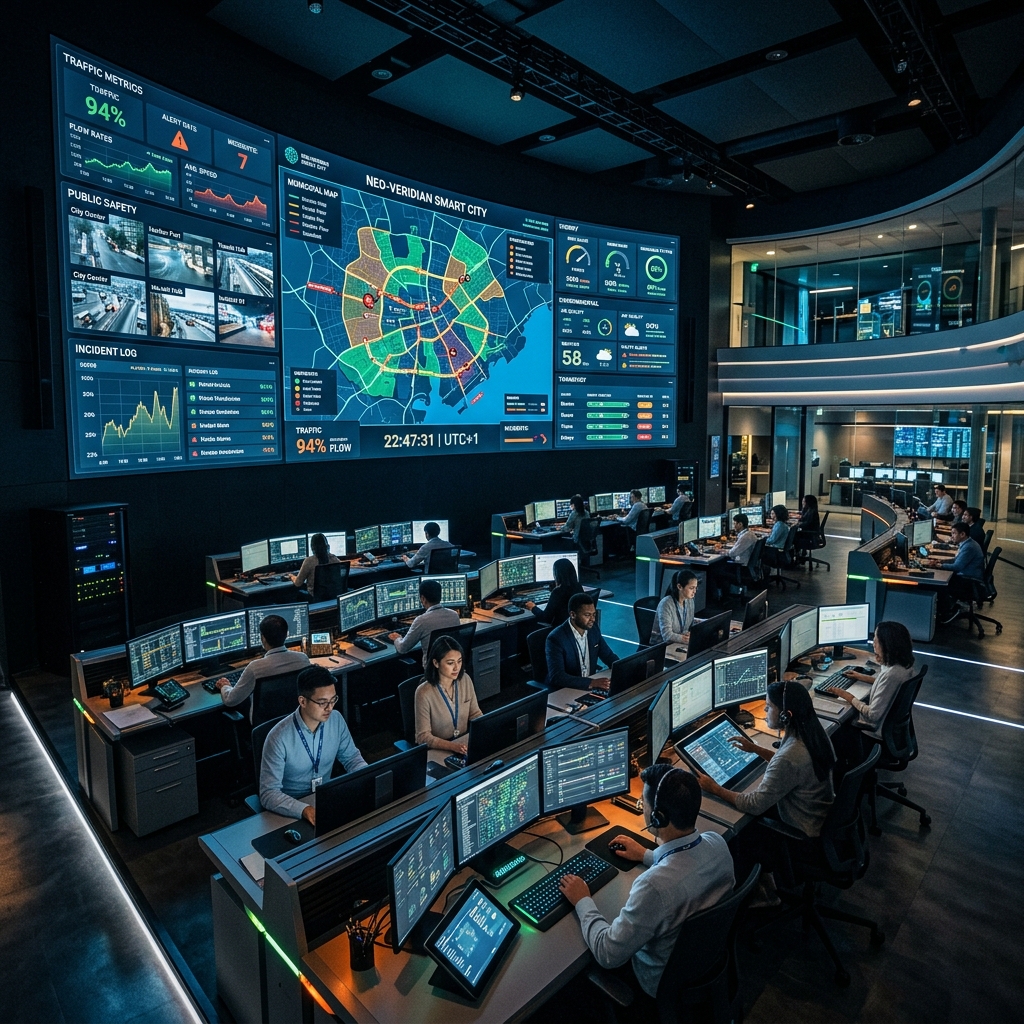
Deploy a high-availability centralized software wall displaying city-wide telemetry, environmental indices, and traffic signal timings. Features live GIS map layer overlays, emergency response vehicle dispatch logs, and automatic alert notifications based on anomaly edge AI detection rules.
Aabmatica Integrated Command & Control Center (ICCC) Dashboard consolidates multiple streams of urban telemetry into a powerful visual display. It enables dispatchers to view vehicle trajectories, monitor air quality indicators, inspect fire alarm positions, and track emergency responders live on map layouts. Powered by GIS overlay systems and custom alert rules, it provides early warnings and coordinates city departments for lightning-fast responses.
Unify diverse municipal assets, video feeds, and emergency dispatches on a centralized visualization wall.
Pinpoint cameras, sensors, and police cruisers on live mapping layouts for complete situational awareness.

Tailor visual tiles on high-resolution command walls with real-time drags and drops.
Link alarms (fire, emergency calls) with closest response units using smart location routing.
Create post-incident reports and logs summarizing alarms, response times, and operator notes.
Contact our technical team to request specifications sheets for hardware tenders or discuss custom traffic deployments.